
Geometra provides a complete range of offshore survey solutions with state of art technology. Whether it is a major submarine cable installation, deep sea oil rig positioning or any other extreme environment, Geometra is well placed to provide surveying solutions with its experienced mature surveying staff.
Real-Time Kinematic (RTK) and DGPS Surveys
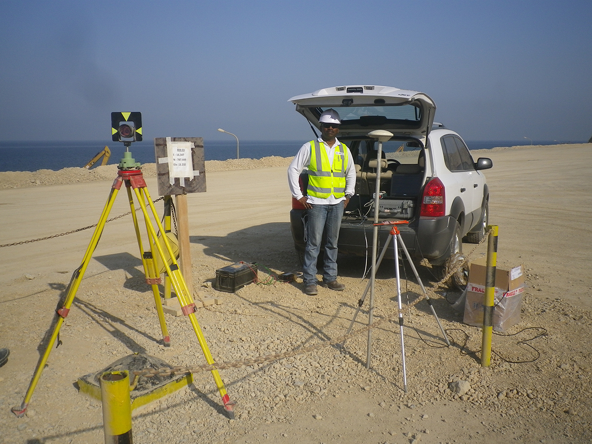
For onshore survey operations, DGPS/RTK technology plays an important role. From simple ground control establishment through to large-scale topographic & acquisition surveys and GIS database establishment, our onshore survey teams are adequately equipped and highly specialized to deliver high quality data critical to every stage of your project. Onshore survey services using DGPS/RTK technology is backed by conventional survey instruments and extended to deformation monitoring, accurate positioning of points (XYZ), setting out and construction survey.
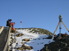
Geodetic Control In Remote Areas
Geometra carries out high-accuracy control surveys in remote areas using the latest advancements in GPS technology to provide “basic control” or horizontal and vertical positions of points to which supplementary surveys are adjusted. Control or geodetic surveys are conducted in line with industry standards by qualified experienced staff to provide geographic positions and plane coordinates of triangulation, traverse stations and the elevations of bench marks. These control points are further used as references for hydrographic surveys of the coastal waters and for topographic control surveys.
High Resolution Multi-beam Survey
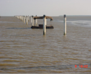
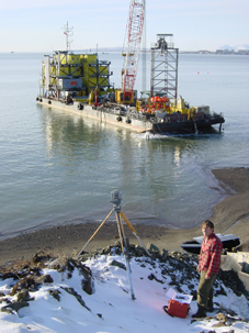
Geometra’s experienced surveyors provide error-free pile setting out of marine piles for new jetties, bridges and wherever a marine structure is connected to the shore. We utilize leading edge computer software, conventional survey equipment and GPS technology and transfer data directly from the design drawing to the instrument, obviating the need for error-prone calculations. Deliverables also include real-time monitoring of setting out and As-Builts.
Onshore Pipeline, Transmission Route Surveys
Our onshore survey teams provide route surveys necessary for the location and construction of lines of transportation and communication such as pipelines, railroads, highways, open–conduit systems and power lines. We provide the initial topographic surveys necessary for the conception of the new project and subsequently locate and mark centrelines, determine elevations along and across the centreline (profiling), staking out extremities for cut and fill, computation of earthwork volume, determine drainage areas for culverts and ditches, layout of structures such as bridges and culverts and location of right of way boundaries.