Marine Geophysics and Geotechnical Survey
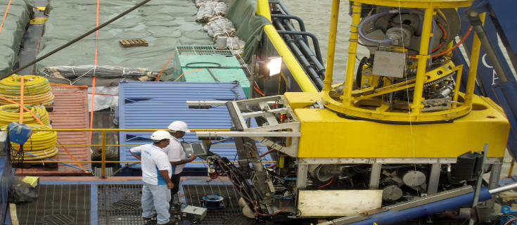
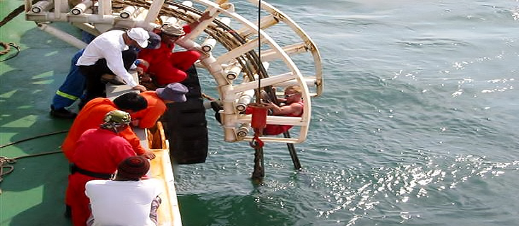
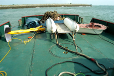
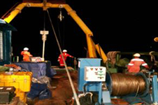
Geometra is equipped with a full range of seismic profiling equipment. For a majority of this work, we use EdgeTech sub-bottom profiling system. For high-resolution surveys not requiring deep penetration we use sub-bottom profiler system and for projects requiring deep penetration where high resolution is not as essential, we use a sparker system. Geometra provides a wide range of Geotechnical survey services. Geotechnical sampling is carried out by Geocorer 6000 (3m and 6m barrels) and freefall gravity coring. The Core Penetration Testing (CPT) is performed using our Roson Seabed Penetrometer System. Sample cores are useful for investigating the vertical strata of soil layers.
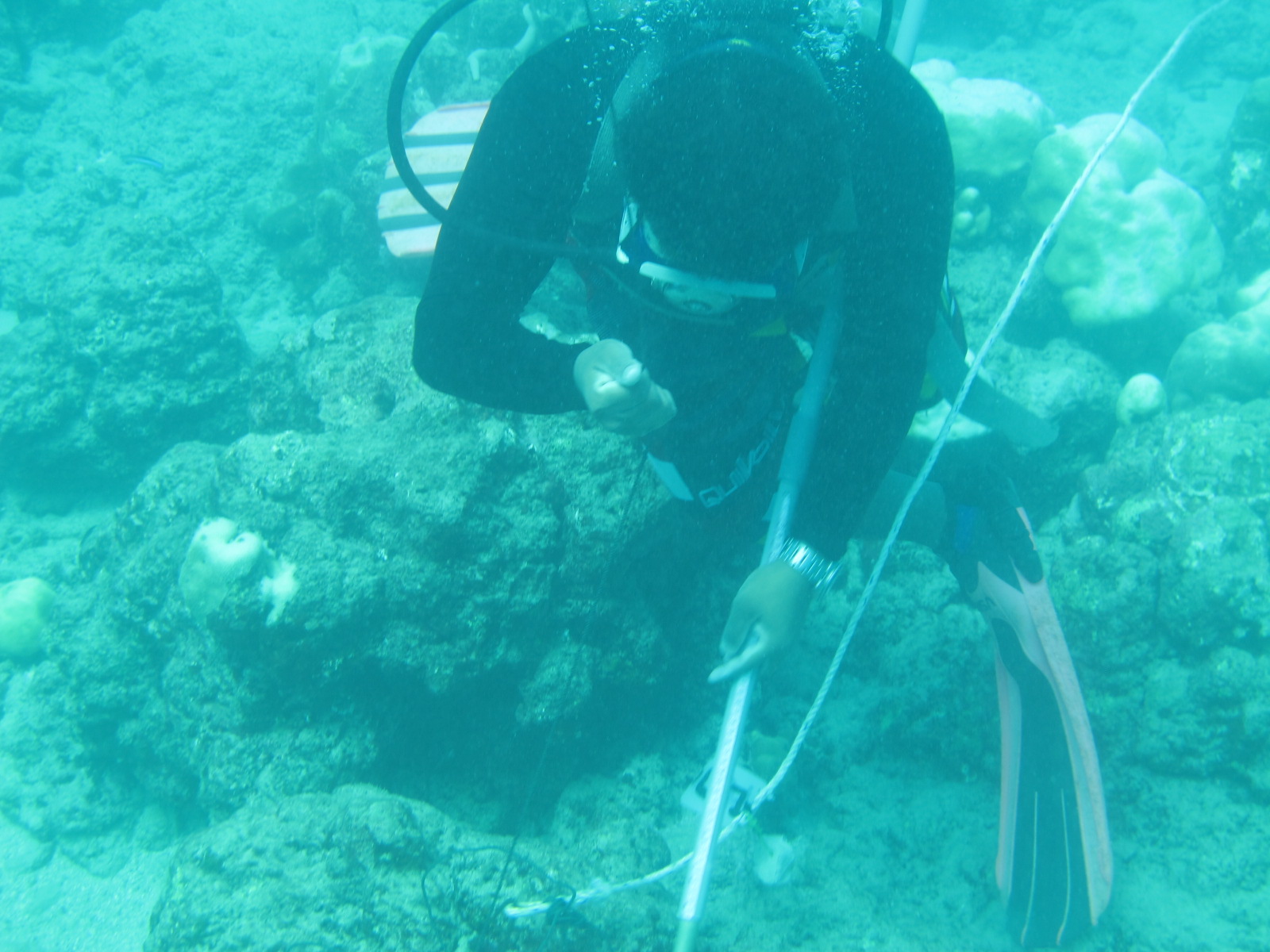
Geometra uses latest EdgeTech Side Scan Sonar Systems to acquire data of seabed features. Side scan surveys can be useful for a wide variety of purposes, including creation of nautical charts and detection and identification of underwater objects and seabed features. It is also a commonly used tool to detect debris and other obstructions on the seafloor that may be hazardous to navigation channel or to seafloor installations by the oil and gas industry. In addition, the status of pipelines and cables on the seafloor can be investigated using side-scan sonar. With our experienced geophysical teams, supported with latest technology, Geometra is able to provide full surface geological interpretation of the differences in material and texture type of the seabed to the water depth of 1000m.
Bathymetric & Seabed Mapping
Geometra has been a leader in Bathymetric and Seabed Mapping technology in the Asia Pacific region for over 38 years using the latest (ever changing) up to date technology. With the latest Multibeam Echo Sounder systems and QINSy software, Geometra is able to produce accurate bathymetric and sea bed mapping charts which, as an independent check we verify by running cross profiles. The current systems have increased our potential to explore up to water depth of 3,400m.
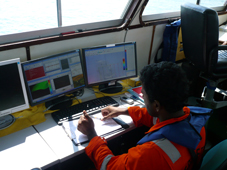
Geometra provides comprehensive survey data processing solutions as well as computer aided designing, modelling and drafting. Our customizable post processing software supports extensive feature including symbolization, labeling, DTM control, and more. With these powerful capabilities, clients get the final drawings expenditiously after the survey has been completed.
Submarine Pipeline and Cable Route Investigation and Inspection
Geometra is a global player in services for submarine cables and pipelines including both Geophysical and Burial Assessment Surveys. Projects of this nature have been carried out for numerous clients through branch offices situated in South East Asia, South Asia and Middle East. Geometra has demonstrated an outstanding track record by successfully completing such multi-disciplinary surveys as is evident from our projects list.
Geothermal Survey for Submarine Power Cable
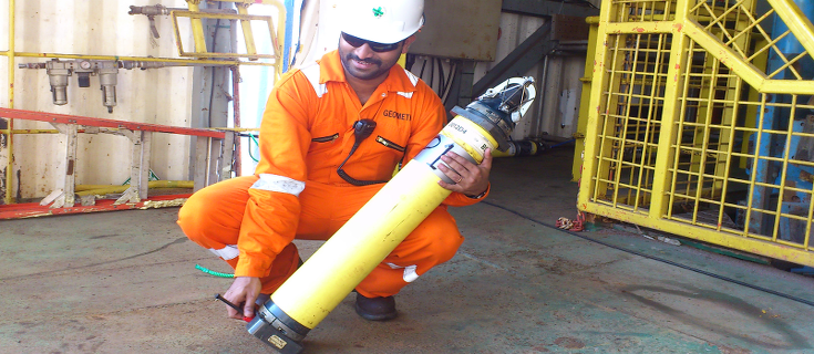
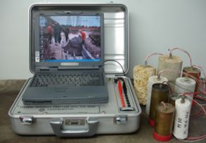
Geothermal survey for power cable route is carried out by the Thermal Property Analyzer Model TPA2000 is the 4th generation upgraded version of the Electric Power Research Institute (EPRI) product, and it surpasses IEEE Standard and ASTM for thermal testing.
TPA2000 is a computer-controlled system that provides programmable power to the thermal probes; reads temperature sensors (high resolution thermistor type); probe current and voltage, and computes in real time the thermal resistivity, coefficient of determination, etc., for each active temperature sensor.