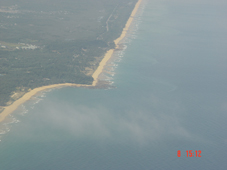
Beach Erosion
The beach profile and sediment transport are very important factors in the design of coastal structures. These are affected by a number of parameters, such as periodic wave height, beach slope, and the material properties of the seabed and landfall of the shore line. Geometra provides coastal erosion profiles after the beach erosion study to support coastal building projects.
Oceanographic Data Collection
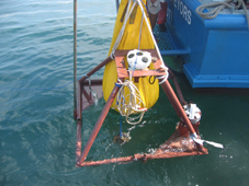
Geometra is involved in a broad range of oceanographic data collection using both in situ methods and remote sensing. For this, primary equipment include current meters which measure the velocity of moving water, radiometers which estimate sea surface temperatures, scatterometers which measure wave disturbances and yield surface wind speeds and directions and high precision altimeters that measure ocean surface deformation.
Desktop Studies on Feasibility
A desk top study is a key element of early planning and engineering of any marine project. The study will gather and analyse existing data from public domain, scientific and commercial databases, and available project sources. Outputs will advise on environmental considerations, define engineering survey needs, assist in obtaining permits and consents, EIA activities, and construction planning enabling an integrated approach. Most significantly, the study will identify risks and opportunities at an early stage prior to commitment of costly resources. Geometra has experience in every stage of project development from site identification and cable route planning through installation and services to decommissioning. Final results are reported with the aid of GIS and CAD software and could be presented in most common file formats via CD, DVD or by web download alongside with the hard copy.
Quality Assurance & Representation
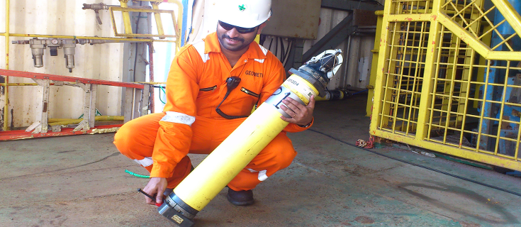
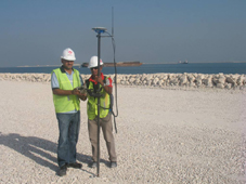
One of our key consultancy services is the provision of expert and experienced QC supervisory personnel for projects, either on board your vessel or at your office. Our experienced quality assurance and representation consultants can control and guide contractors to ensure that they are meeting the required specifications. Moreover these representatives can carry out quality services with compilation of survey procedures, design review, quality control plans, qualification of construction procedures etc.
Site Reconnaissance & Determination Of Control Requirement
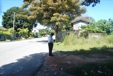
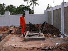
A detailed reconnaissance covering a proposed project area is an essential means of ensuring surveys are carried out in the most expeditious manner. The site reconnaissance should ideally be completed before the survey is started. The reconnaissance surveyor will prepare site sketches and descriptions of all salient information so that those following can progress with their work with least possible disruption.
Project Planning & Costing
Geometra’s project management skills are employed on marine and land survey projects worldwide. Our interests encompass power, telecommunications, oil and gas and infrastructure construction sectors. Geometra services range from total project management to ‘one-off’ consultancy assignments. Our understanding of the technical, quality and budgetary requirements of clients coupled with ‘hands on’ knowledge of survey methods and costs enables us to develop accurate plans and management strategies.
Geometra has invested in the supporting systems, software and hardware essential to our role, including project management, records management, software development. We operate fully as per documented quality and HSE systems, certified to ISO 9001:2000 as well as OHSAS 18001:2007 and can also comply with clients’ in-house quality systems and procedures.