Geometra provides a complete range of offshore survey solutions with state of art technology. Whether it is a major submarine cable installation, deep sea oil rig positioning or any other extreme environment, Geometra is well placed to provide surveying solutions with its experienced mature surveying staff.
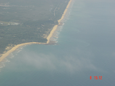
Beach Erosion
The beach profile and sediment transport are very important factors in the design of coastal structures. These are affeced by a number of parameters, such as wave height and period, beach slope, and the material properties of the sea bed and of the shore line. Geometra provides coastal erosion profiles after the beach erosion study to support coastal building projects.
Marine Geophysics and Site Investigation
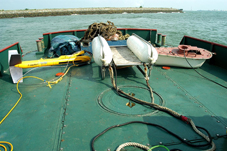
Geometra is equipped with a full range of shallo seismic profiling equipment. For a majority of this work, we use a boomer sub-bottom profiling system. For high-resolution surveys not requiring deep penetration we use pinger system and for projects requiring deep penetration where high resolution is not as essential, we use a sparker system. For geo/soil sampling the comany uses a conventional regarding the seabed only while vibrocorers gives cores up to six metres in length dependent on the type of material it is trying to pentrate.
Geometra uses latest EdgeTech Side Scan Sonarres Systems to acquire data of seabed features. Side scan surveys can be for a wide variety of purposes, in cluding creation of nautical charts and detection and identification of underwater objects and bathymetric features. It is also a commonly used tool to detect debris items and other obstructions on the seafloor that may be hazardous to shipping or to seafloor installations by the oil and gas industry. In addition, the status of pipelines and cables on the seafloor can be investigated using side-scan sonar. With its experienced geophysical teams, supported with latest technology, Geometra is able to provide full surface geological interpretation of the differences in material and texture type of the seabed.
Bathymetric & Seabed Mapping
Geometra has been a leader in Bathymetric and Seabed Mapping technology in the Asia Pacific region for over 30 years using the latest (ever changing) up to date technology. With the latest Reson Multibeam Echo Sounder system and QINsy software, Geometra is able to produce accurate bathymetric and sea bed mapping charts which, as an independent check we verify by running cross profiles using single beam sounders.
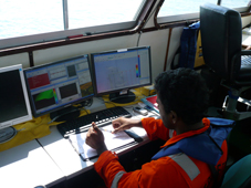
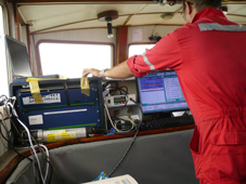
DGPS and RTK Real-Time Positioning Services
Geometra provides high-precision centimetre level real time positioning as well as sub-metre positioning services with the latest RTK and DGPS technology. RTK technology can provide centimetre horizontal and vertical positioning accuracies for high accuracy marine construction applications and DGPS positioning can be used in applications which need sub-metre horizontal position accuracies
Dredging Surveys
Geometra provides fully fledged multidisciplinary dredging surveys as a part of its survey services. This includes geophysical surveys, experimentation studies for optimization of dredging, hydrographic surveys, recommendations on dredgeability and estimation of dredged quantities etc.
Oceanographic Data Collection
Geometra is involved in a broad range of oceanographic data collection using both in situ methods and remote sensing. For this primary equipment includes current meters which measure the velocity of moving water, radiometers which estimate sea surface temperatures, scatterometers which measure wave disturbances and yield surface wind speeds and directions, and high precision altimeters that measure ocean surface deformation.
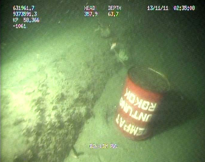
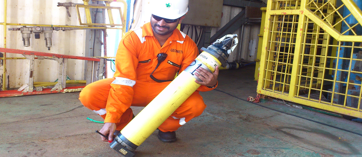
Submarine Pipeline Cable Route Investigation and Inspection
Geometra is a global player in services for submarine cables and pipelines including both Geophysical and Burial Assessment Surveys. Projects of this nature have been carried out for numerous clients through branch offices situated in Asia Pacific, South Asia and Middle East. Geometra has demonstrated an outstanding track record by successfully completing such multi-disciplinary surveys as is evident from our completed projects list.
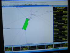
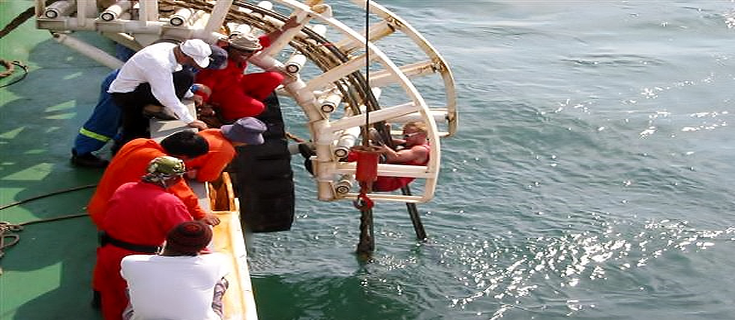
Barge Management System, Vessel Tracking & Tug Management System
Geometra provides integrated tug/barge management systems for work barges which may be self propelled or towed. In addition to precise navigation, work barges need continuous up to date information on lateral or forward / backward movement so that action can be implemented should anchors cease to hold or other possible problems arise. With proprietary barge management systems (NGL and MiniNav) and other commercial software systems Geometra is able to provide accurate positioning for these works.
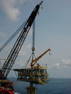
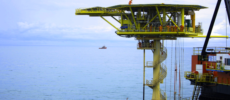
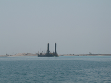
Offshore Structure Positioning (rigs and platforms)
Precise position is the fundamental parameter for all survey and engineering operations offshore. Geometra’s innovative solutions and expert staff have ensured a quality controlled and cost effective product and service to the offshore industry for more than 30 years.
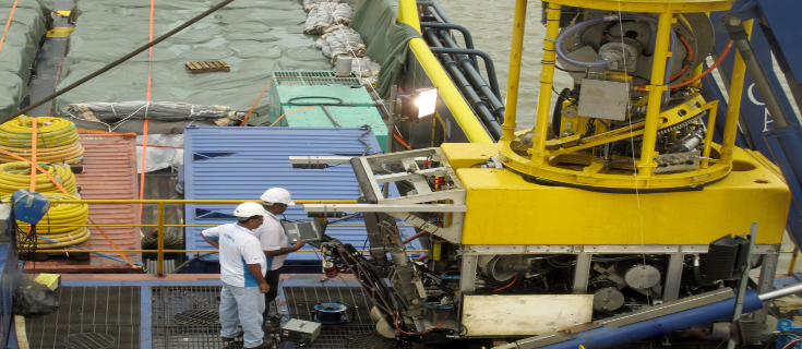
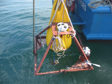
Acoustic Navigation and Positioning
Geometra is a leader in high-accuracy sub-sea navigation and positioning. Using Ultra Short Baseline (USBL) technology Geometra’s systems can be readily configured for all underwater operations, long-range ROV / Tow-Fish tracking and for positioning of structures in deep water.